Chrome Extension
Measure any parcel of land, right on the map.
Draw a boundary on the map and get its area in m², hectares, ares, sq ft or acres. Polygon, rectangle, circle and n-gon tools.
Free · No account · No tracking · Zero permissions
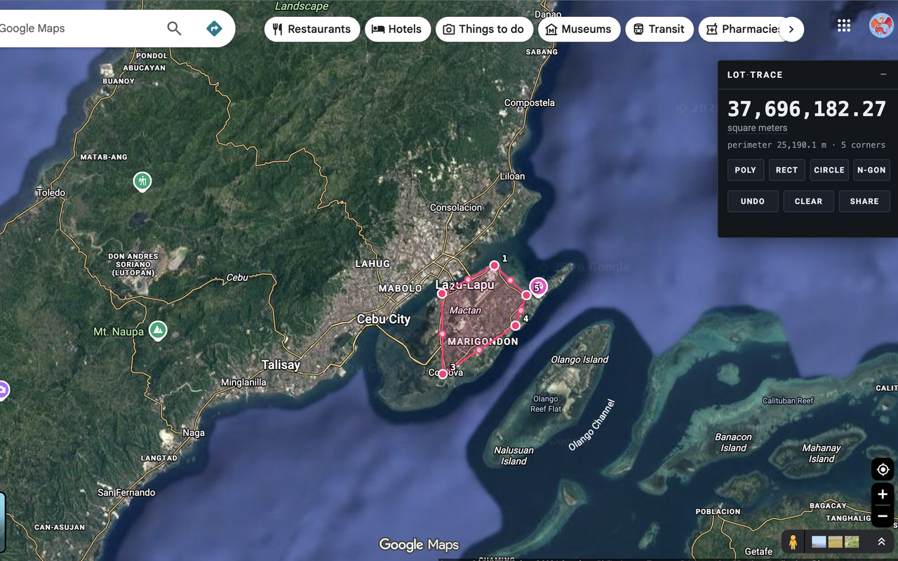
Four ways to draw
Pick a tool, draw on the map, read the area. Every shape stays editable afterwards.
Poly
Click each corner. Click the white first corner, or press Enter, to close the shape.
Rect
Press and drag between two corners. Hold Shift for a perfect square.
Circle
Press at the centre and drag out to the radius.
N-gon
Press at the centre and drag out. Drag direction sets rotation. 3 to 12 sides.
Nothing is final
Every corner stays draggable after you draw.
Drag a corner to move it. Drag an edge midpoint to insert a new one. Right-click a corner to delete it. The area updates live as you drag, and Esc cancels.
Shapes are stored as coordinates, not pixels — so they stay pinned to the ground while you pan and zoom the map.
Units that make sense
Click the unit label to cycle. Perimeter is shown alongside.
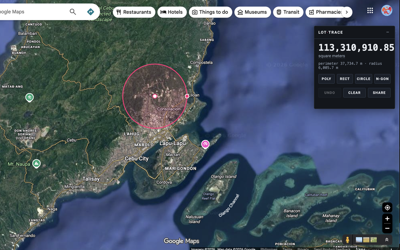
Honest about accuracy
The maths is careful. The clicking is where error actually comes from.
Areas are computed on the WGS 84 ellipsoid, using the local meridional and prime-vertical radii of curvature at your parcel's mean latitude — not a spherical approximation, which overstates area by around 0.6% at tropical latitudes. Residual maths error is well under 0.01%.
Lot Trace measures horizontal projected area — which is what land titles quote.
It genuinely doesn't phone home
Lot Trace requests no Chrome permissions, makes no network requests, and has no servers, accounts, or analytics. Boundaries you draw exist only in the current tab and are discarded when you close it.